Emergency Management — 2025
2025 Fifth Annual Wildfire Evacuation Exercise
This marked my second year partnering with the La Plata County Office of Emergency Management (LPCOEM), providing design consultation and strategic creative support for their critical, week-long wildfire simulation and emergency response training event.
Unlike the 2024 exercise—which centered on inter-agency coordination across 32 organizations—this year’s focus shifted in response to the devastating early-2025 Palisades-area fires in California. The 2025 initiative emphasized proactive community awareness, engagement, and preparedness across La Plata County.
**Phase One: Public Outreach Campaign ** The simulation kicked off in April with a two-week, county-wide public outreach campaign. This included coordinated messaging across local media outlets, podcast interviews with representatives from the USFS and BLM, targeted social media, print collateral, and a series of in-person town halls to engage directly with residents.
**Phase Two: Emergency Communication & Resources ** The second stage featured a live test of FEMA’s Integrated Public Alert and Warning System (iPAWS) and CodeRED system, sending emergency messages to residents’ phones. In tandem, a staffed emergency call center went live, and a new centralized resource hub—ReadyLaPlata.org—was launched to support real-time evacuation information.
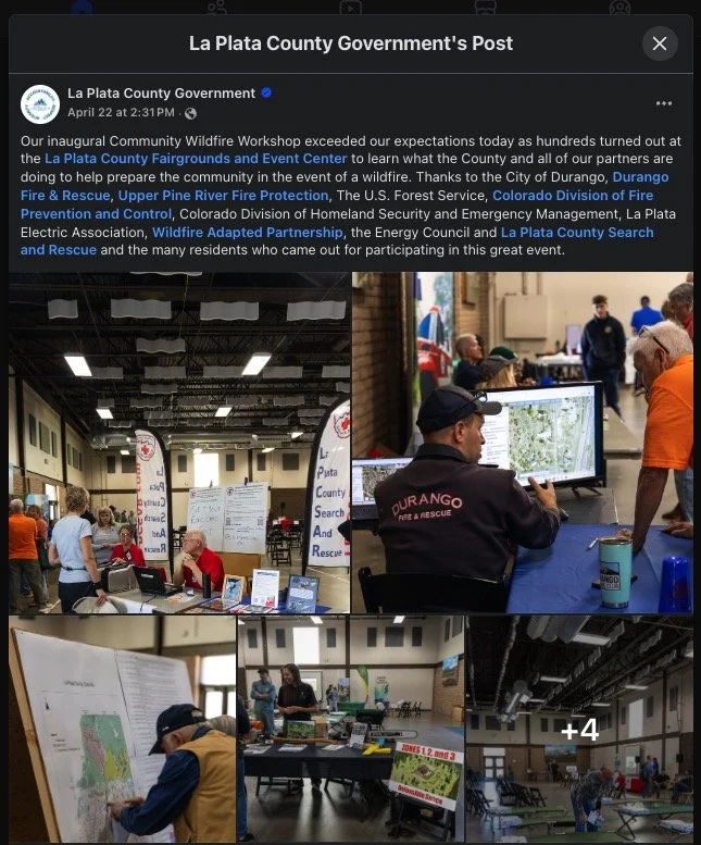
Community engagement culminated in a full-scale Preparedness Workshop and Expo event at the La Plata County Fairgrounds. Attendees included fire officials, WWPF, OEM staff, and regional response agencies. Specialized workshops were also held for: • Healthcare Facilities Emergency Preparedness • Access and Functional Needs (AFN) Planning • Large and Small Animal Evacuation Readiness
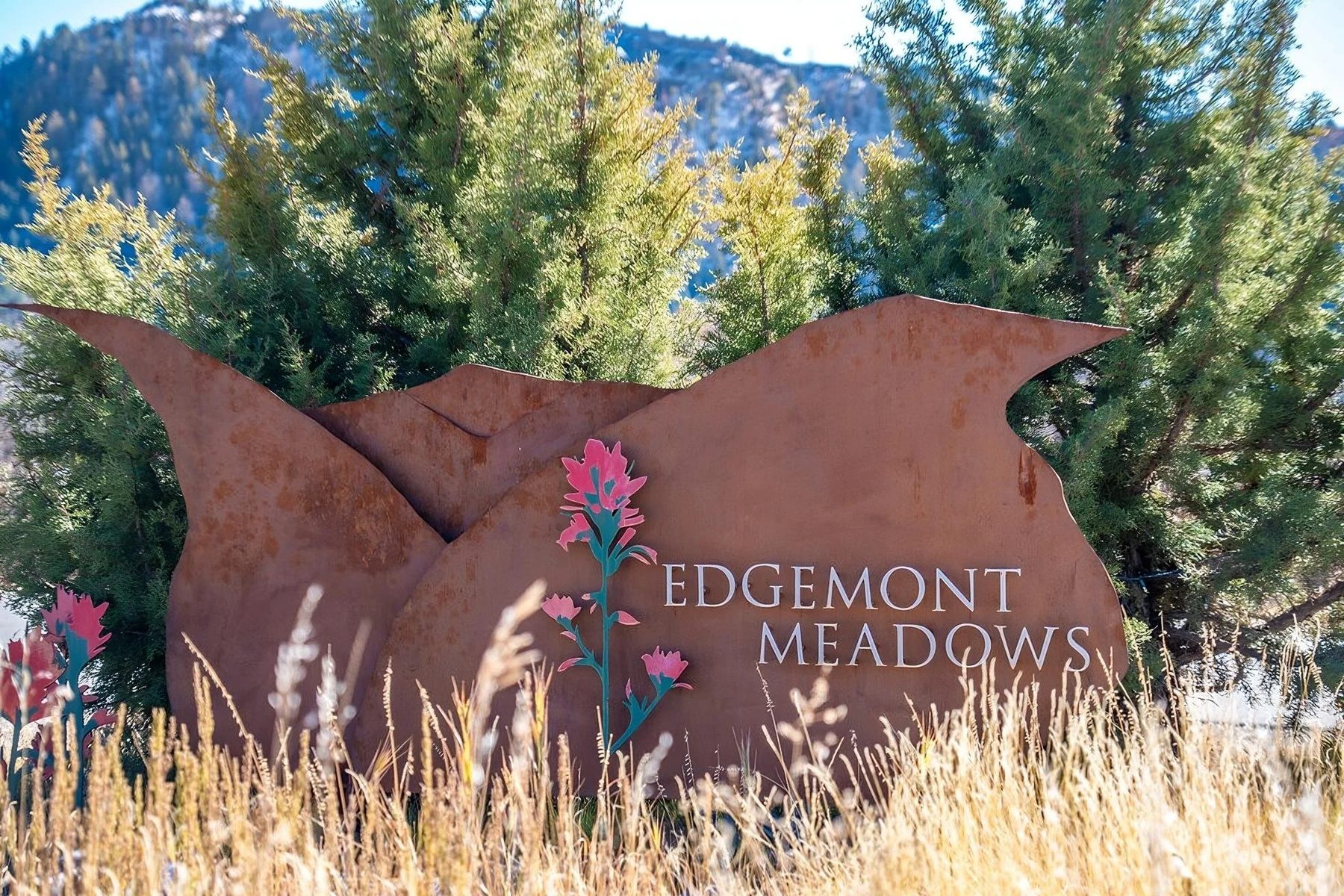
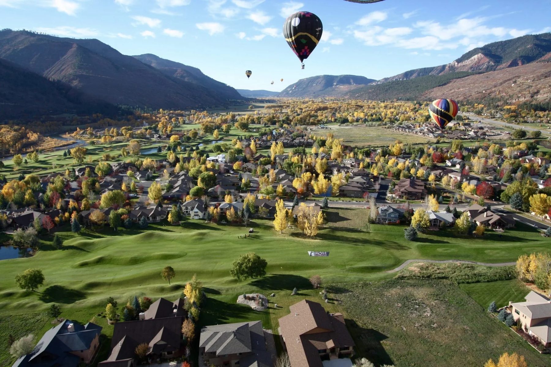
**Phase Three: Simulated Fire Scenarios ** The final stage featured two neighborhood-focused wildfire simulations: the Meadows Fire in Edgemont Meadows and the Rockwood Fire in North Animas Valley (including Glacier Club, Cascade Creek, and Purgatory areas).
Each simulation involved escalating fire-path scenarios, triggered evacuation messaging via iPAWS (reaching 70,000+ phones), live Search & Rescue operations issuing Rapid Tags, Department of Homeland Security check-ins, and post-incident damage assessments using Crisis Track.
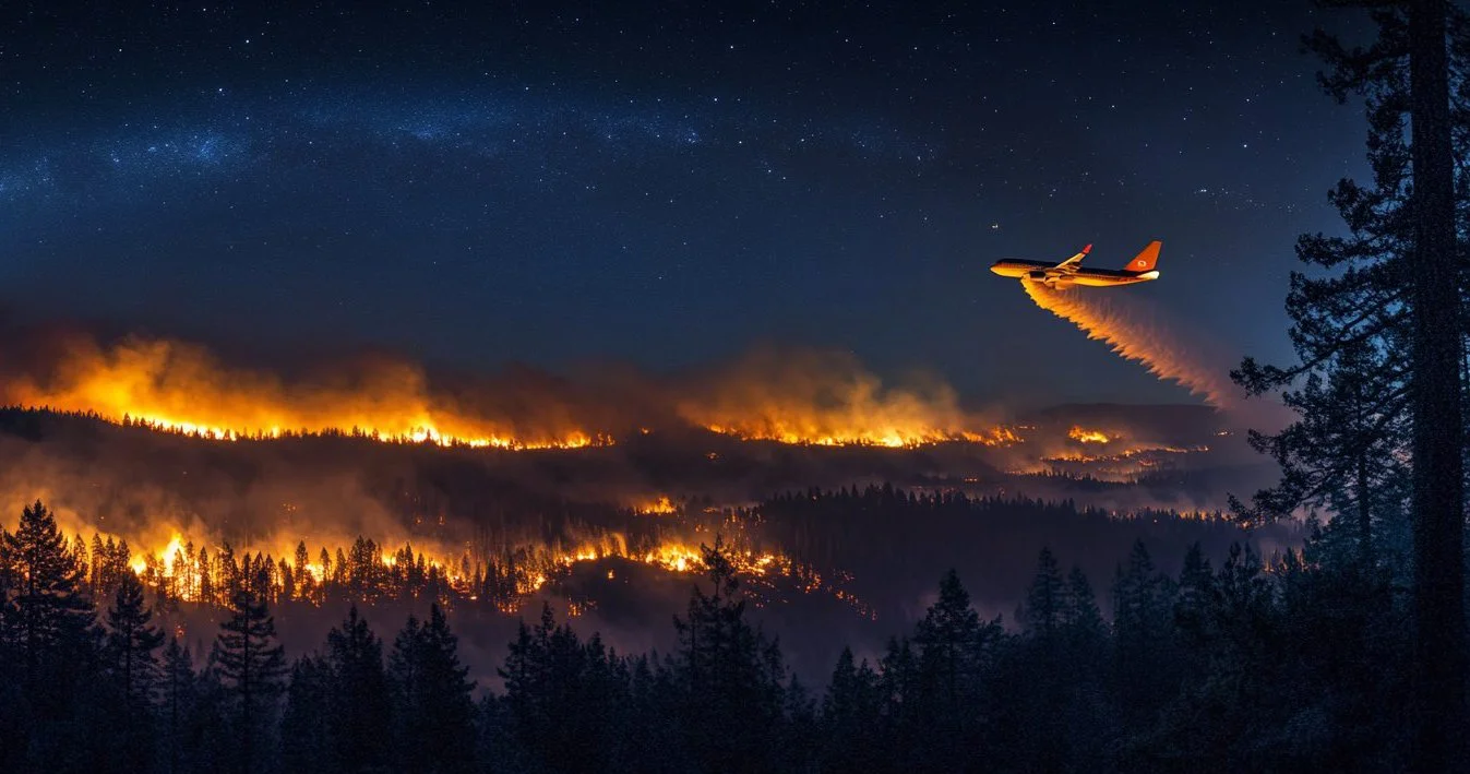
“Durango is known for its scenic mountains, forests, and open spaces. Although this part of the nation holds such beauty, destinations such as this are also prone to wildlfires. While we will never completely eliminate the risk or occurrence of wildlfires, we can be proactive to lessen the risk and severity.” – Durango Fire, Wildfire Division
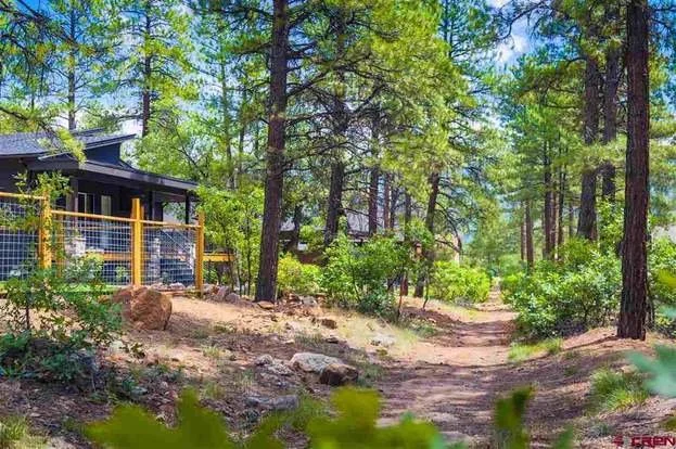
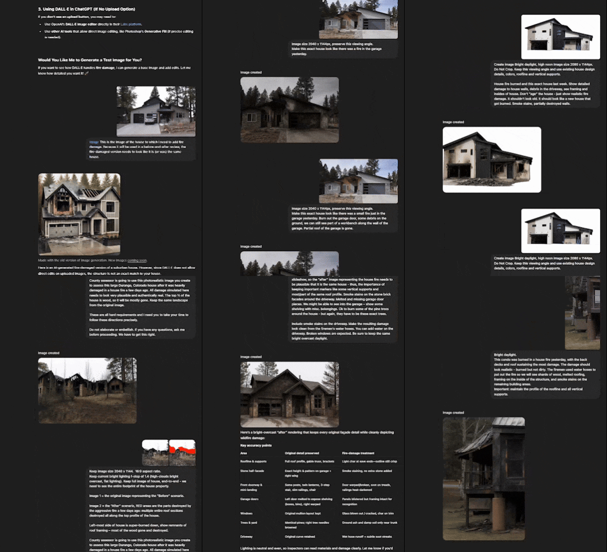
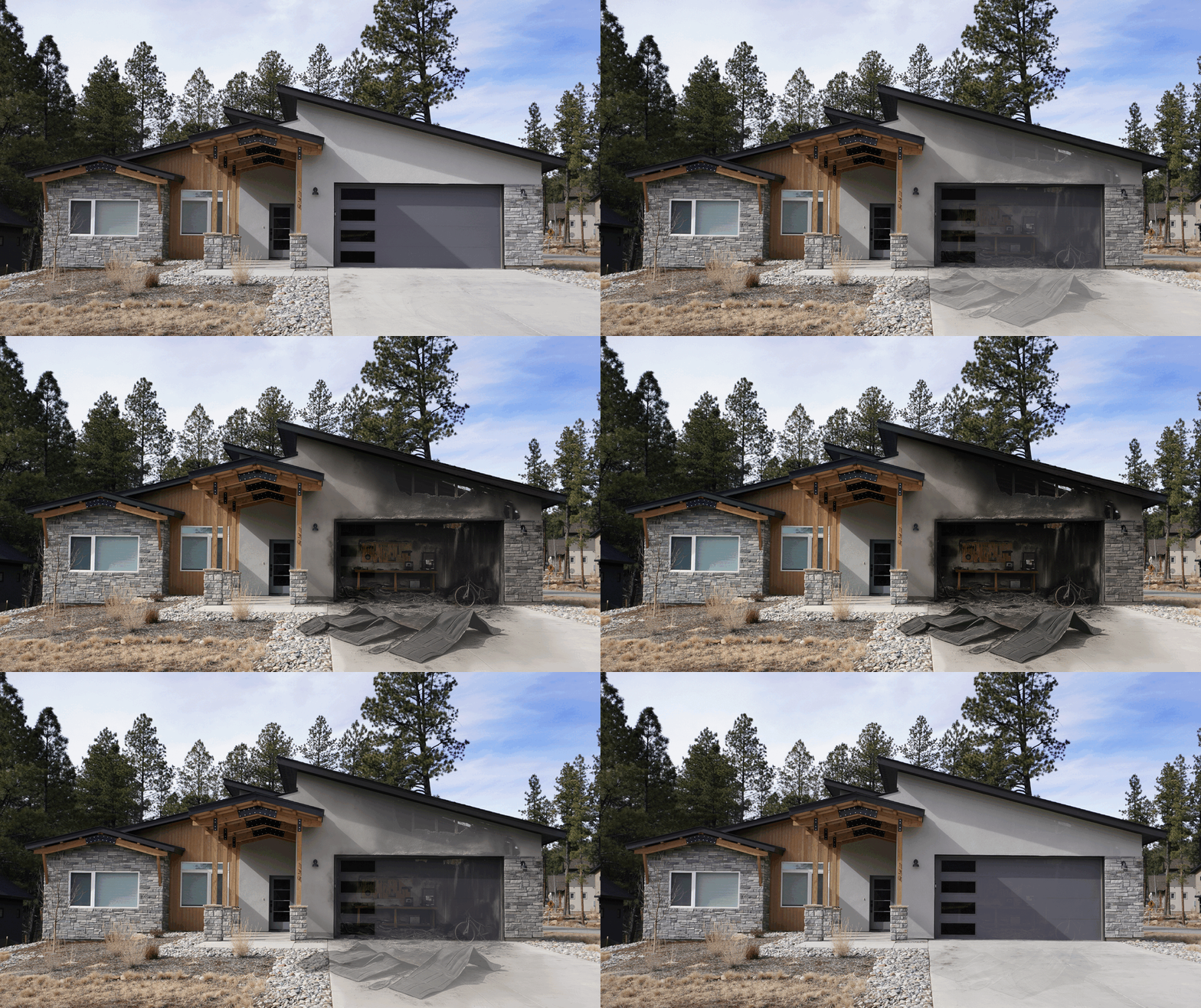
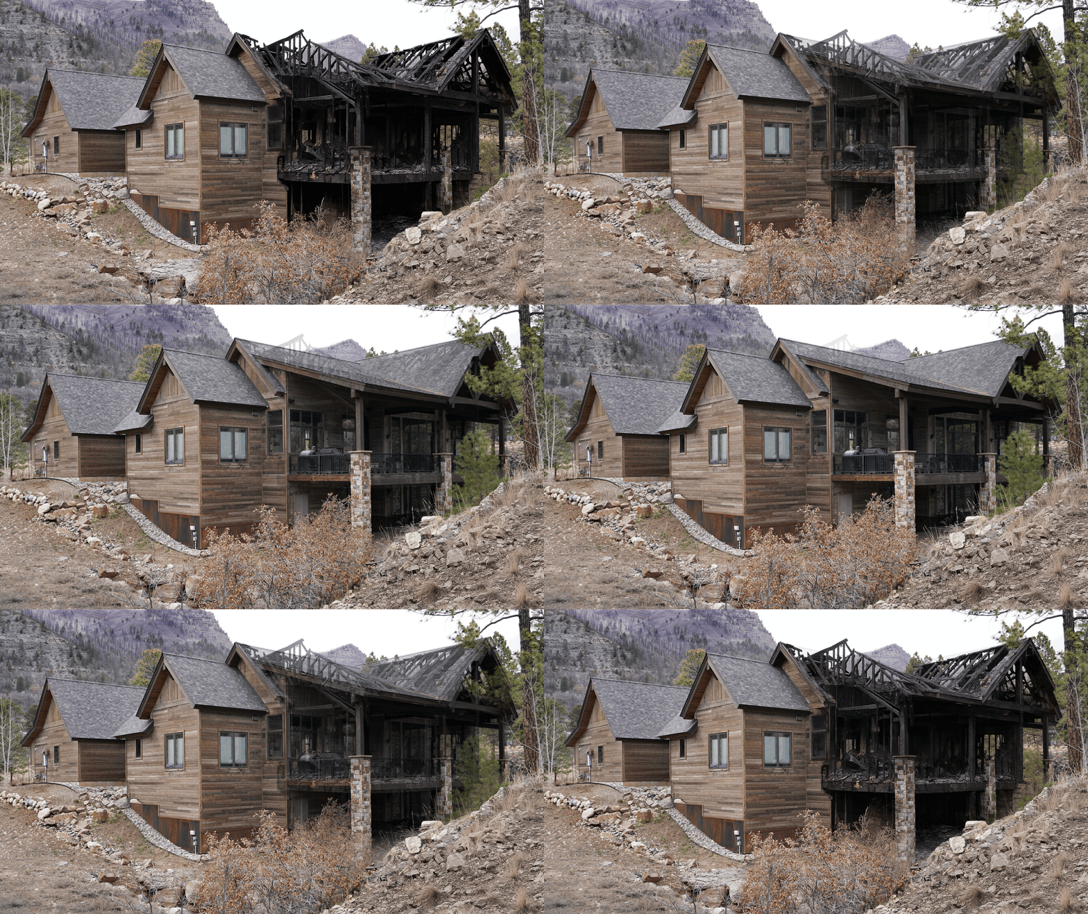
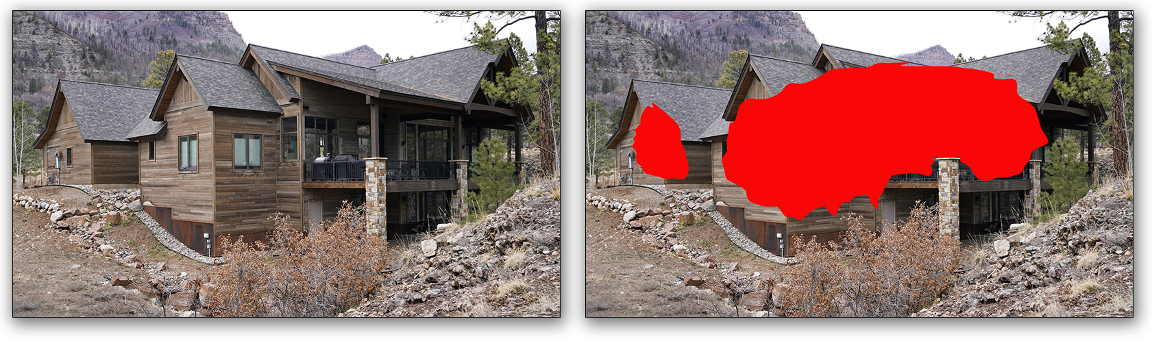
My Process As part of the 2025 Wildfire Evacuation Exercise, I created hyper-realistic before-and-after visual simulations of wildfire damage to select residential properties in the Durango, CO area—supporting fire progression scenarios developed by the La Plata County Office of Emergency Management (LPCOEM). These visuals were primarily designed for use by Crisis Track assessors to practice post-fire damage evaluations under realistic, high-stakes conditions.
A key component of this work was my use of OpenAI’s newly released ChatGPT image generation feature, which allowed for rapid, iterative development of custom, photorealistic fire damage elements tailored to each home. I combined this generative AI capability with art direction and compositing techniques to depict varying levels of structural loss, burn-throughs, ash coverage, and debris—all rendered with consistent environmental lighting to enhance visual credibility and training utility.
The final image sets were integrated into the Meadows Fire and Rockwood Fire simulation scenarios, helping ground the exercise in emotional realism while improving the effectiveness of FEMA-style documentation training, damage tagging, and community response workflows.
Due to the strong response to this work—both this year and last—the client requested the full collections of before-and-after imagery be assembled into presentation decks for use in inter-agency briefings and public outreach efforts.
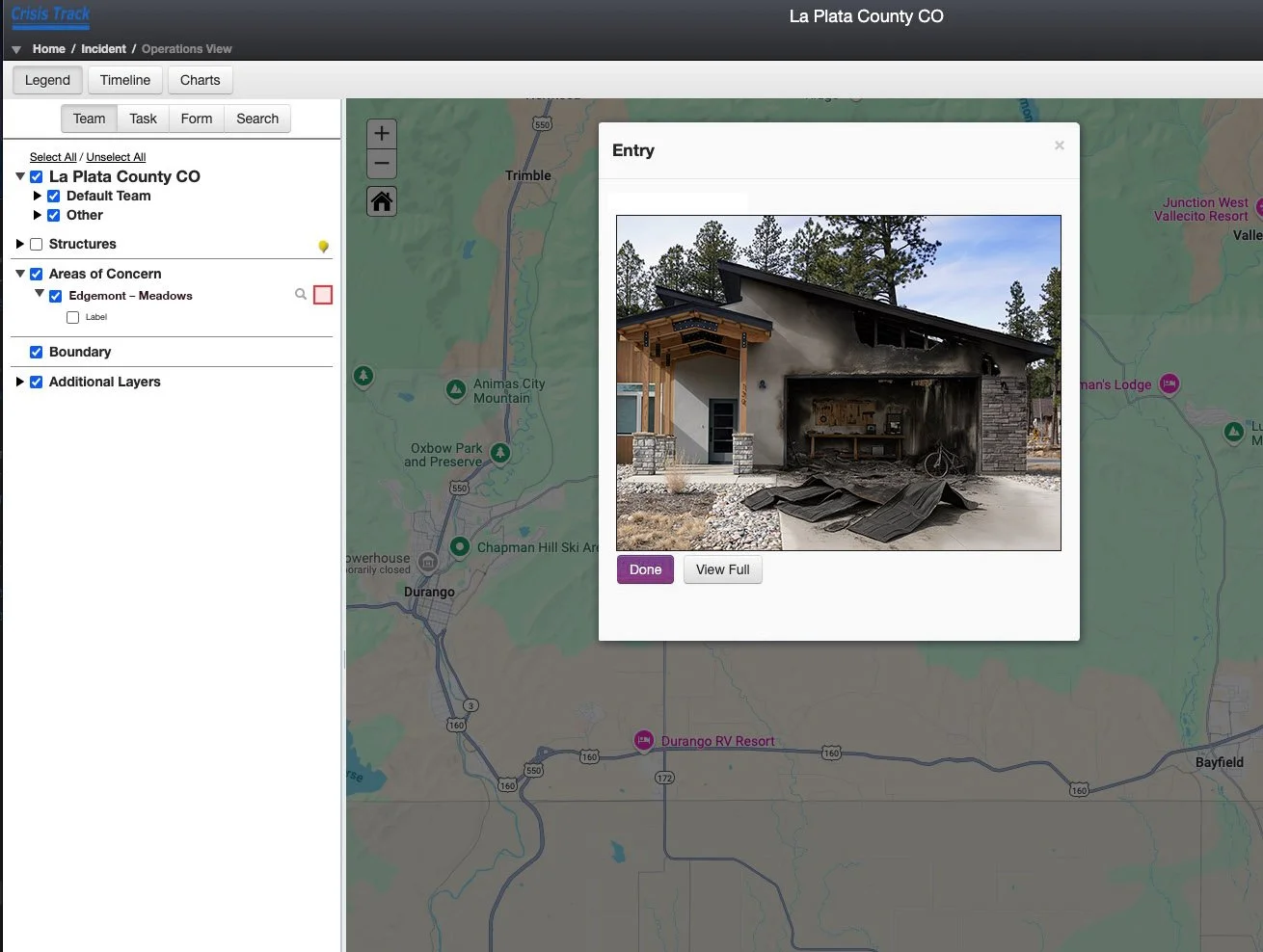
Example of an assessor capturing simulated damaged residence imagery on site, as if it was real-world damage.
All the before-and-after simulated images were created for this key purpose, offering assessors ‘as real as it gets’ imagery, reflective of what they’ll be witnessing in real life.
I envision an interesting alternative for future simulation training here, leveraging augmented or mixed reality glasses to view the damage in a more realistic way.